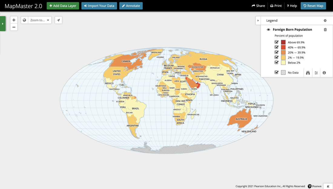
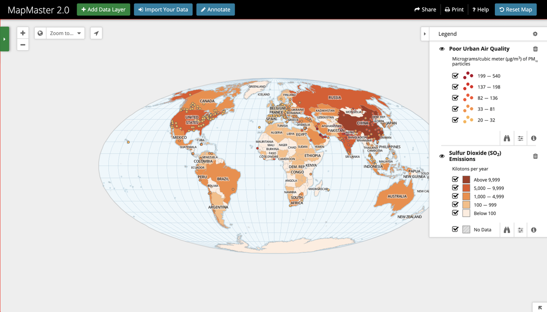
This semester I am taking a World Regional Geography class, and in it, we have been learning about the various regions of the world. The textbook we are using splits the world into 12 regions and covers five different themes in each region/chapter, Globalization, Environment, Population, Culture, Human & Economic Development, and Geopolitics. Each of the regions is categorized by these themes, so we get a chance to look at the world a lot more in-depth. Currently, we are in Chapter 11, which is East Asia, but we've gone through eight other regions, including Europe, Sub-Saharan Africa, Latin America, and Central Asia. This class has improved my global awareness because it has given me the chance to look at the varying aspects of the world, both the traits unique to regions and those shared. Globalization is an important theme in the class, so we've looked not just at the region but how they have influenced other places and how they have been influenced in turn. Each week we read a chapter and complete online assignments for it, one of them using the map tool seen below called MapMaster 2.0. This tool is used by adding data layers based on different data collections like biomes or higher education enrollment. We can zoom in and look at it based on a certain region/country or look at it from a worldwide perspective. This gives us a chance to see a visual of demographics and understand the trends in certain places. Overall, this class has given me an interesting look at the world and the different aspects. While it can be confusing at times because of how we have to read different maps and understand them, I really enjoy getting to learn more about the the world.